Geography of Kiel
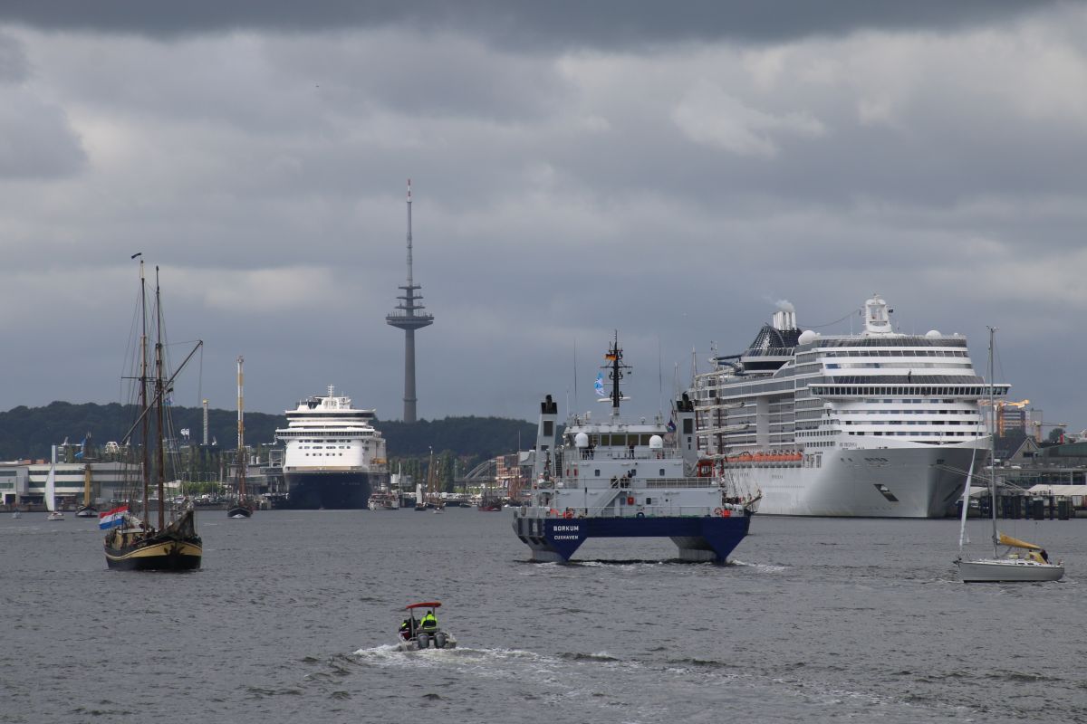
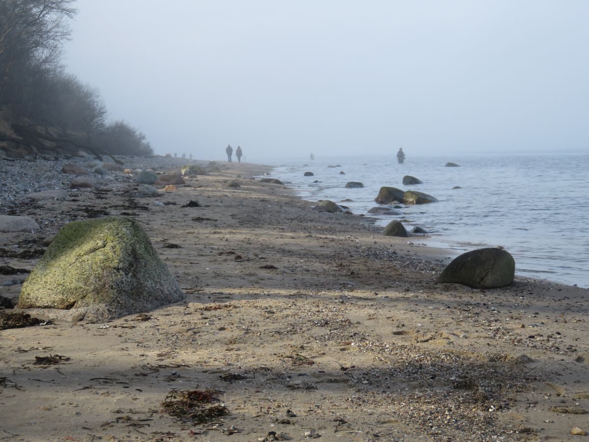
The state capital of Kiel extends in a horseshoe shape around the natural harbor of Kieler Förde, which is an important seaport on the Baltic Sea. The northernmost part of Kiel, Schilksee, lies on the open Baltic Sea.
The around 17 km long Kiel Fjord lies between the landscapes of Dänischer Wohld in the west and Wagrien in the east and stretches from its southern end, the Hörn next to the city center of Kiel, to the outer fjord, which merges into the Bay of Kiel.
The Schwentine river flows into the fjord near Neumühlen-Dietrichsdorf on the east bank of Kiel. In Kiel-Holtenau on the west bank are the locks of the Kiel Canal (NOK; international name Kiel Canal, until 1948 in Germany Kaiser Wilhelm Canal).
The surroundings of Kiel are characterized by moraine hills and merge into Holsteinische Schweiz in the east.
Kiel’s neighboring communities – the following communities border on the city of Kiel
District of Plön: Mönkeberg and Schönkirchen (district of Schrevenborn), town of Schwentinental (until February 29, 2008 the autonomous communities of Klausdorf and Raisdorf) as well as Pohnsdorf, Honigsee and Boksee (all district of Preetz-Land)
Rendsburg-Eckernförde district: Flintbek (Flintbek office), Molfsee and Mielkendorf (Molfsee office), Melsdorf and Ottendorf (Achterwehr office), Kronshagen (independent municipality), Neuwittenbek and Felm (Danischer Wohld office), Altenholz (independent municipality), Dänischenhagen and Strande (Danish Hagen Office)
City outline
The city of Kiel is now divided into 30 districts. Usually, one or more districts together form one of the 18 local districts , each with a local advisory board.
Climate
Kiel is located in the temperate climate zone. The summer is usually cool to mild (around 17 °C), and the winter is maritime and rather mild for the northern location (around 2 °C). The greatest amounts of precipitation fall in July (about 90 mm per month). The average annual temperature is about 9 °C.


